September 21, 2022 - Utah Flight
Transit to Iowa
|
|
Today we started the long transit flight home. But we had to get over the big mountains to the east of us. The original plan had us flying up to Grand Junction, getting back on the Colorado River and heading northeast all the way up to Lake Granby. We'd then go north into Rocky Mountain National Park and take Milner Pass (elevation 10,758 ft) to get through the highest part of the mountains. We'd exit the mountains in the Fort Collins area.
But early this morning in the motel room, looking at the limited VFR weather reporting available, I was concerned that a low ceiling might block our way in Rocky Mountain NP. We'd also be headed right into the sun. Finally, we were all tired from the trip and really didn't want a stressful flight. So, I proposed just heading north out of Delta through relatively low terrain, until we hit Interstate 80, and then turn east, exiting the mountains through the same pass as we had come in through, six days ago. That's what we ended up doing.
Here we are taking off at Blake Field just after daybreak.
|
| |
 |
|
|
We climbed to high altitude as this would be a transit flight. That's Grand Junction to the west.
|
| |
 |
|
| You can see our old friend the Colorado River down below. |
| |
 |
|
|
Now looking east up the Colorado River with Interstate 70 running on its north side.
|
| |
 |
|
| One of the RV-8s on my right. We're too far to see the big 12-14,000 foot mountains to the east. We'll never know if they were engulfed in clouds or not that day. |
| |
 |
|
| Looking at the White River running west. |
| |
 |
|
| Passing by the small town of Meeker, Colorado which sits just to the north of the White River. |
| |
 |
|
|
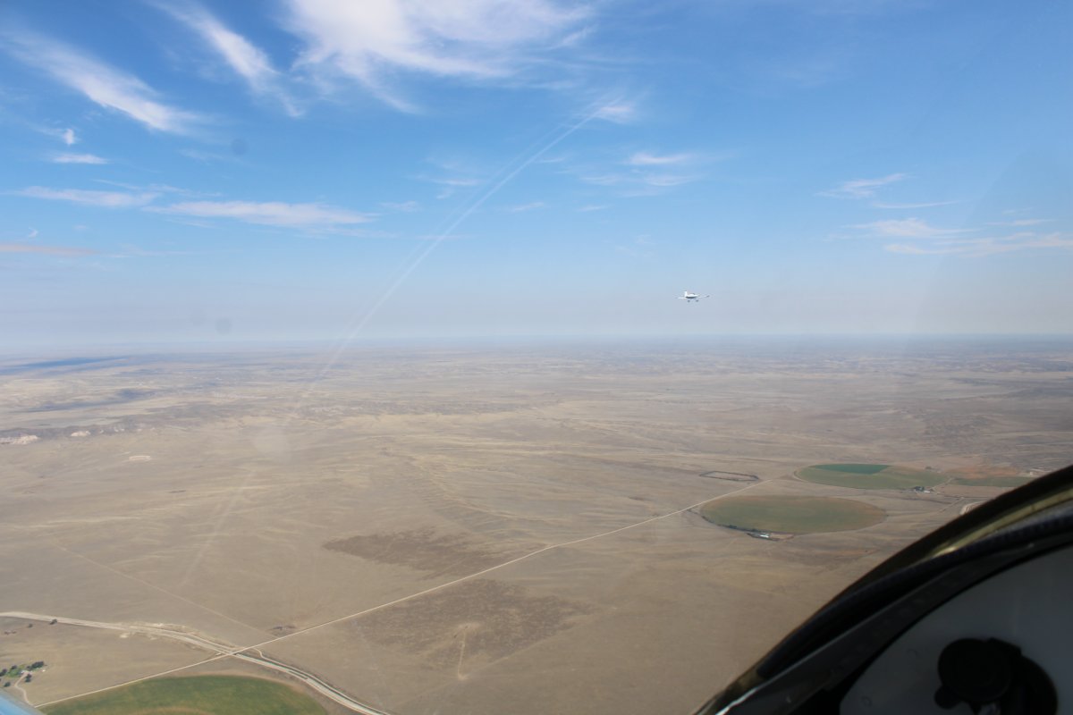
Chuck and I flying over the high desert.
|
| |
 |
|
| Passing over the Little Snake River and crossing into Wyoming. Dixon Airport can be seen just right of center. |
| |
 |
|
|
We rounded Medicine Bow Peak to the north and then headed due east. After awhile we approached a low cloud layer. I thought it might be a good opportunity to go under them, and do some low-level flying, but the clouds went all the way to the ground!
|
| |
 |
|
| So we flew on top. The sky was clear at our destination so we weren't worried about being able to get back down. |
| |
 |
|
| Sure enough, the cloud layer ended and the clear skies were back. |
| |
 |
|
| Looking down at Torrington Airport (KTOR), Wyoming, where we stopped for fuel, and as it turned out, breakfast. |
| |
 |
|
|
You can see the two RV-8s have already landed and are at the fuel pump. This was a very friendly airport. They had a courtesy car which we used to drive a short distance down the hill to a breakfast place, which can be seen at the top right of the picture.
|
| |
 |
|
| Having refueld both planes and pilots, we are in line for takeoff at Torrington. |
| |
 |
|
|
Just after leaving Torrington, we crossed into Nebraska. Still mostly high desert though.
|
| |
 |
|
| Checking out a squiggly little creek. |
| |
 |
|
| Chuck and I flying east down the Niobrara River. |
| |
 |
|
|
Which runs into the mighty Missouri River!
|
| |
 |
|
| There was weather to the south. Fortunately, it was running parallel to our track and was never a problem. |
| |
 |
|
| Our groundspeed began to pick up dramatically. It got up to 216 mph and we were happy. |
| |
 |
|
| Looking down at Sioux Gateway Airport (KSUK), a big towered airport in Sioux City, Iowa. |
| |
 |
|
|
But our groundspeed just kept increasing until we were up to 234 mph!
|
| |
 |
|
|
Still running parallel with the bad weather.
|
| |
 |
|
| Approaching Belle Plaine Airport (KTZT) where we stopped for gas, and then decided to just spend the night there since they had a courtesy car. The town of Belle Plaine, Iowa, was so small that they didn't have a motel, so we had to drive 15 miles south to Interestate 80 and stay in a motel there. No big deal. |
| |
 |
|
| |
| |
|
|
|
|
|
|